
Experts Chime In: Answering 10 Common Questions About Topographic Surveys
Land surveys, including topographic surveys, should only be performed by professionally licensed surveyors. These experts use state-of-the-art equipment to provide information about properties to property owners and prospective buyers. The accurate information from these surveys helps them make informed decisions about property acquisition and use. Not sure what type of land survey to order? Read on to find the answers to 10 of the most frequently asked questions about topographic surveys for help with deciding if this type of land survey will be a good fit.
1. What Is a Topographic Survey?
A topographic survey is designed to locate both man-made and natural features on a property. This includes buildings, fences, elevation changes, land contours, bodies of water, and even trees. Visit cochraneng.com to order a survey or keep reading to find out more.
2. What Are Contours?
According to the NSPS model standards for topographic surveys, a contour can be defined as an imaginary line on the ground whose points are all at the same elevation. In some cases, a contour line may have points at different elevations, but in these cases, they all still fall below a specified point. Contours may be defined in relation to benchmarks, which are defined as relatively permanent material objects that can be located at a specific, nationally accepted datum.

3. How Accurate Are Topographic Surveys?
There are specific standards for accuracy in topographic surveys that surveyors must meet. With contour lines, positional accuracy requirements vary from 0.65 feet at one-foot vertical intervals to eight feet at ten-foot horizontal intervals. Floor elevations must be accurate vertically to within 0.05 feet and horizontally to within one foot. Certified surveyors can offer 95% confidence levels of positional accuracy.
4. Who Orders Topographic Surveys?
Property owners, engineers, and architects all use topographic surveys to make informed decisions about how to improve or develop properties. This goes not just for building projects, but also for determining drainage patterns for farmland, deciding where to dig ponds, and even determining how best to clear a piece of land for future development.
5. How Are Topographic Surveys Used?
Topographic surveys are used in a variety of ways. Surveyors often receive requests from clients working on construction or architectural projects, but these types of surveys are also used for environmental restoration projects or for guidance during grading or drainage projects. Construction codes may require topographic surveys as part of their regulatory codes, and land developed for one specific use then repurposed should be surveyed using these methods before new construction or improvements begin.
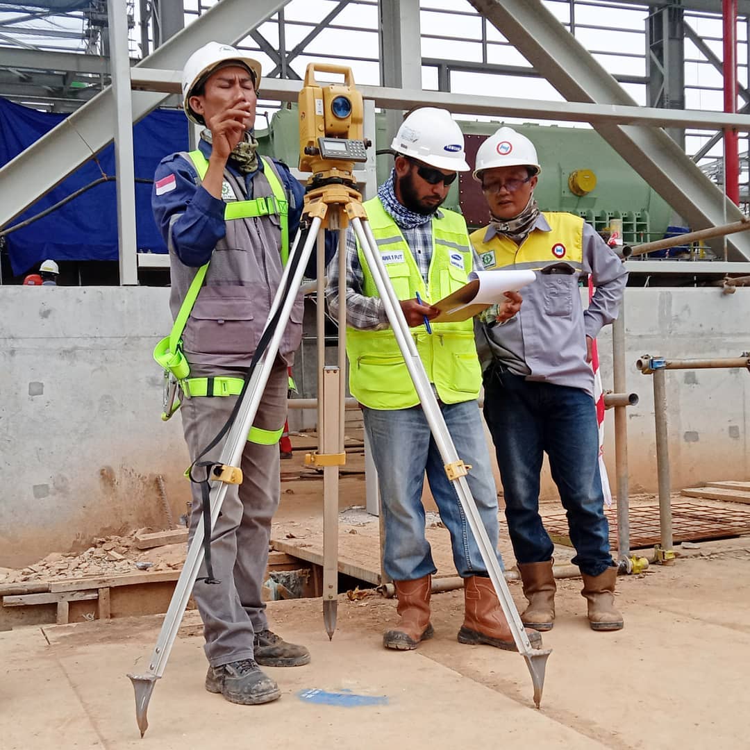
6. How Are Topographic Surveys Conducted?
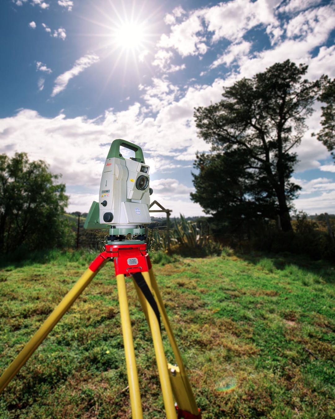
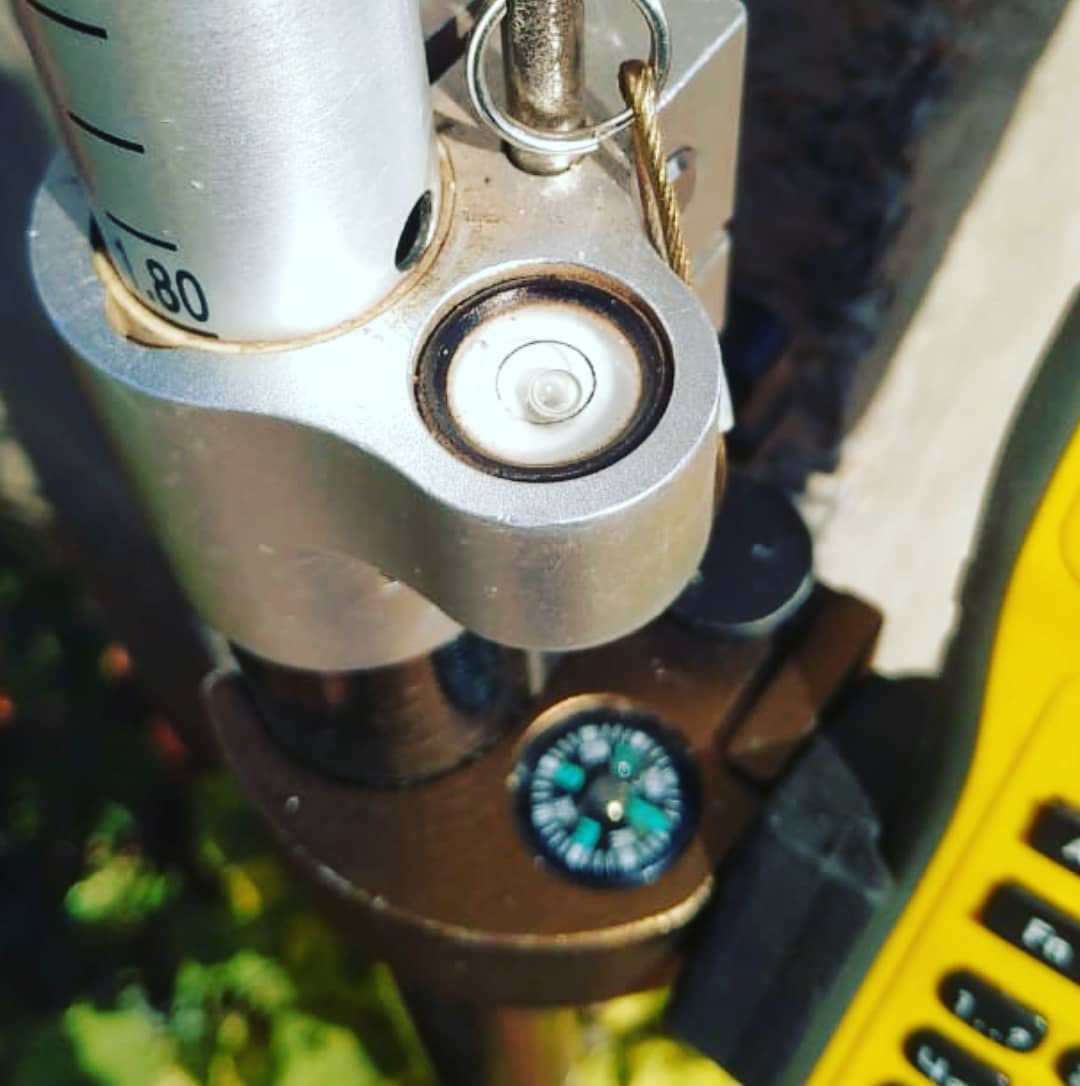
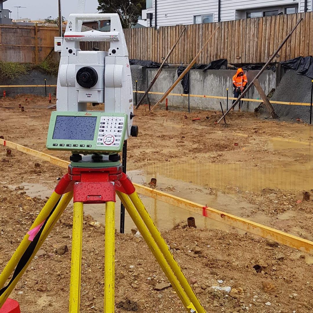
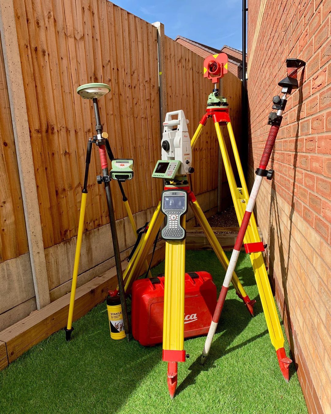
Conducting a topographic survey requires a lot of specialized equipment. It can only be performed by a certified surveyor with access to a surveying-quality GPS unit and an electronic distance measurement (EDM) total station theodolite (TST). These tools are used to pin down the exact location of features, including property lines, contour lines, and both natural and man-made structures.
7. How Are Topographic Surveys Different From Other Surveys?
Topographic surveys differ from other types of surveys in that they indicate elevation. This makes them very useful for building projects and acquisitions whose specifics will depend on the lay of the land. The details garnered from topographic surveys are often used during the right of way acquisition process and help to inform property development and improvement plans. They’re most useful in this context when used alongside other types of professional surveys, so try to find a surveyor or civil engineer who can perform multiple types of surveys.
8. What Is the Difference Between a Topographic Map and a Topographic Survey?
The use of topographic maps dates all the way back to 1789 when the first topographic map series of a whole country was created in France. The use of topographic maps spread across Europe and the rest of the world in the intervening centuries until in the 1980s, online databases began to replace printed maps. These databases combine information from various sources to create a user-friendly resource for those who want to look at large-scale land features.
Today’s topographical surveys are much more detailed than the basic, large-scale maps that preceded them. While topographic maps still serve a valuable purpose in that they can assist with geographic planning and civil engineering, most projects require more detailed and more localized topographic surveys.
9. What Is the Difference Between a Topographic Survey and a Boundary Survey?
Boundary surveys are used more frequently than topographic surveys, but they don’t contain the same depth of information regarding landforms. They simply identify and map the perimeter boundaries of a property, often with the use of semi-permanent survey monuments for marking. Most boundary surveys include basic man-made features such as homes or commercial buildings and outbuildings, and they may include basic environmental features like rivers running through the property. However, they won’t contain anywhere near the same amount of information regarding natural features.
Topographic surveys usually include the same information as boundary surveys, but they also identify natural and man-made features at, above, and below the earth’s surface. This includes not just contours, but also retaining walls, walkways, utility lines, trees, manholes, and more.
10. How Can Clients Choose a Surveyor?
It’s always best to hire a surveyor who specializes in more than one type of land surveying, including both boundary surveys and topographic surveys, at a bare minimum. Some civil engineering and architecture firms offer surveying services. Working with a more comprehensive engineering company gives property owners or contractors access to a far wider array of helpful services. When in doubt, request referrals from the company to see how previous clients felt about their services.
The Bottom Line Topographic surveys are useful tools that help architects, interior designers, contractors, and landowners better understand the lay of the land before beginning the design phase of their improvement or construction processes. They require specialized knowledge and equipment in addition to the basic research required to perform a boundary survey and can only be performed by certified surveyors. Find a reputable engineering firm that can provide detailed surveys of all sorts to get started preparing for that upcoming project or land sale.